
Record snowfall hits Eau Claire this autumn
Geology professor says the early snow is not attributed to climate change

More stories from Miles Plueger
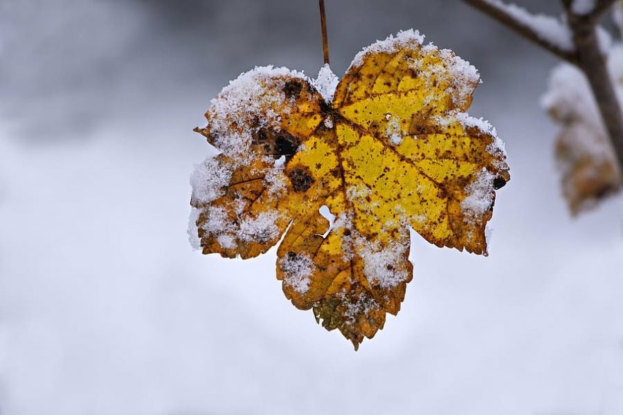
Photo by SUBMITTED
Eau Claire has seen a total of 8.5 inches of snow this fall, said Schaefer.
On Tuesday, Oct. 19, Eau Claire received 6.9 inches of snow, which is the record snowfall for any single date in October for Eau Claire.
Matthew Schaefer, chief meteorologist at WQOW News 18, said while this storm broke the record for most snow in October, we shouldn’t necessarily see this as a sign there will be heavy snowfall the rest of the year.
“When you look at the highest amounts of snow we’ve seen in October, they all pretty much come from one system,” Schaefer said.
October is a transition period from warmer weather to colder weather with lots of fluctuating temperatures, Schaefer said. Because of this, all it takes is a burst of cold air and some moisture to create a snowstorm.
Schaefer said word-of-mouth predictions of high snowfall this year have some truth, but are mostly unfounded.
The Climate Prediction Center predicted we may have a slightly above-average amount of snowfall because we are in a year of La Niña, Schaefer said.
La Niña is a year when waters in the Pacific Ocean near the equator and to the east, cool down, and to the west, warm up. This causes a north-westerly jet stream across the Midwest which creates cooler temperatures, said Schaefer.
Schaefer said in addition to snow during this transitional period, we can also experience events like thunder-sleet, which occurred on Friday, Oct. 22.
The orange skies were a different story.
“That was an interesting phenomenon,” Schaefer said.
There was an abundance of ice crystals in the clouds that the sun’s light was reflecting off of,
Schaefer said. Smoke from wildfires in Colorado also made its way here. This caused only the red, orange and yellow rays of light to pass through.
Douglas Faulkner, a geography professor at UW- Eau Claire, said the early snow is not related to climate change. He said this is because a singular weather event cannot be attributed to climate change.
“Unusual weather events are happening as the system shifts towards a new equilibrium,” Faulkner said.
While snow this time of year is normal, record snowfall is consistent with the uptick in odd weather events that are happening in the Midwest due to climate change, Faulkner said.
One of the biggest changes the Midwest is experiencing from climate change, he said, are warmer winters. More specifically — warmer nighttime temperatures in the winter.
“It’s nowhere near as cold as it was, say, 30 years ago,” Faulkner said.
Another change in the Midwest is a distinct increase in precipitation, Faulkner said. Statistically speaking, Faulkner said, Minnesota has become more wet as a state and receives, on average, three inches more precipitation in a year compared to the 1800s.
Rain in Minnesota is also falling in a shorter period of time and at a higher intensity, Faulkner said.
Increases in precipitation can cause more flooding risks, which threaten farmland and are also one of the deadliest forms of natural disasters in the Midwest, Faulkner said.
As winters become less cold, Faulkner said there may be an increase in the spread of carrier-diseases. Winter is usually a time when the cold kills off populations of ticks and mosquitoes.
With climate change, we may see an increase in West Nile virus and Lyme’s disease due to more of these carriers surviving, Faulkner said.
It is also changing who we are because we are made tough by the winters, but they are getting less tough, Faulkner said.
“It changes the character of this region culturally,” Faulkner said.
Plueger can be reached at [email protected].
*Edit was made on 11/3/2020: Faulkner was previously written as a geology professor, not a geography professor.
Miles Plueger is a third-year public relations and marketing student. He spent quarantine teaching himself guitar. He also makes a mean chicken stir fry.