
Interactive map gives voice to redevelopment plans
Honors class teams up with Cannery District residents to point out needed improvements
More stories from Lara Bockenstedt
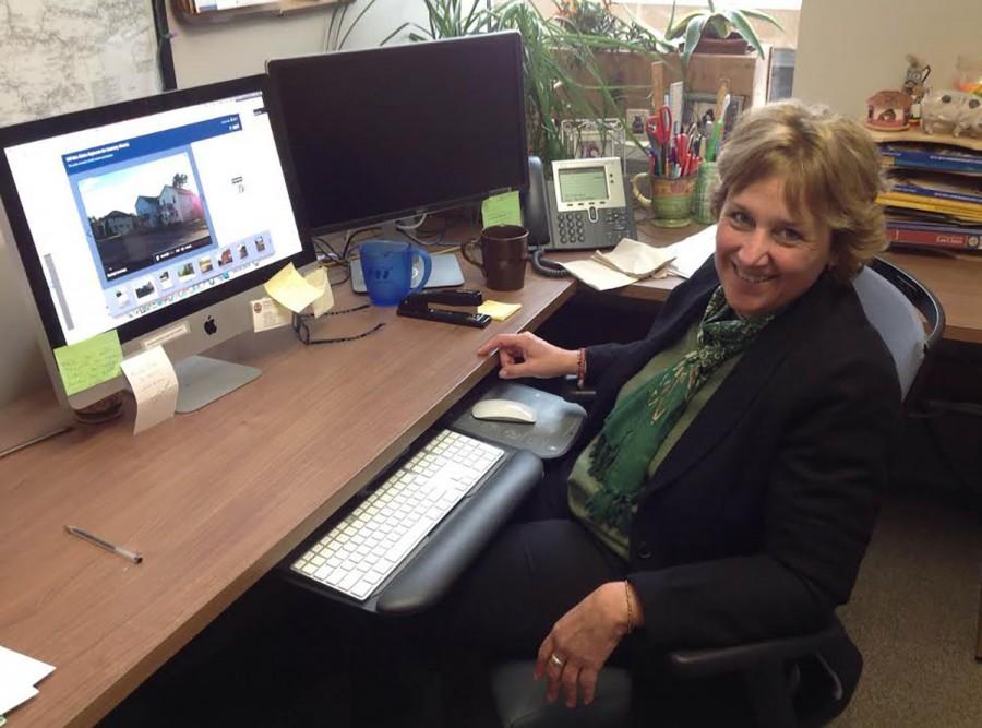
Photo by Lara Bockenstedt
Dr. Ruth Cronje looks over the photomap created for the “Cannery District Redevelopment Project.”
While “X” may mark the spot on most maps, dozens of “Xs” exist on one Eau Claire map designed to give residents of the Cannery District a voice in redevelopment plans.
The map, titled “The Cannery District Redevelopment Project,”started with a team of three influences: John Stedman, a community organizer with Joining Our Neighbors, Advancing Hope; Dr. Ruth Cronje and her honors civic engagement class and the Eau Claire Health Department. The map will be a part of the Eau Claire Department of Health study.
The team created an interactive map that points out what students and community members saw as needing change in the Cannery District. Different photos from the project, Stedman said, show the need for greenspace and park space.
Stedman said using photos added an almost “heart and gut kind of feeling” to the project.
Kendall Clay, a senior photography student, said when Dr. Cronje introduced the project she thought it would be a good way to get involved with the community outside UW-Eau Claire. She became the designated file master and was in charge of organizing the media for the photomap.
The district in focus is a strip of land along the Chippewa River north on Madison Street. Forty-six points are marked on the map. Over the period of a month, Clay said the students ventured through the district and asked residents what they thought should be changed about the area they live in.
“There were a handful of students that interviewed actual residents of the area, so that definitely got them out of their comfort zone,” she said. “The people who interviewed residents definitely felt it was worth it.”
Stedman has been involved in projects similar to this previously, however, he said this was the first project where he used ArcGIS, a geographic information system that allowed students to layer photos with a variety of points on the map.
Martin Goettl, the geospacial technology facilitator for the geography and anthropology at UW-Eau Claire, helped students with this part of the project. Goettl said he was impressed by the students’ independence during the project.
“They took something unfamiliar to them and ended up with a pretty neat product,” he said.
Clay worked with Goettl to link photos and audio to the map. While the photos were taken by students, Cronje said several of the incorporated audio components were excerpts from interviews with residents of the Cannery District. Goettl said he anticipates appropriating the current map into a youtube video including the pictures and other content.
Moving forward, Stedman said he plans to hold a community conversation to involve stakeholders such as city and county officials in the project. He said one of the end goals is for residents of the Cannery District to own their own property.
The Eau Claire Department of Health, Cronje said, will measure health outcomes within the community. This is so that they can see what the effects of a redevelopment project are.
Ultimately, being the middleman between the residents and the stakeholders of the area was important, Clay said.
“To give residents a voice, one that they may not have already – to make sure that the project benefits them,” she said.
The university, too, will benefit from the experience by having a presence in the community, Stedman said.
“Engaging with the neighborhood and community is really important,” he said. “We’re on the cusp of something that is innovating.”